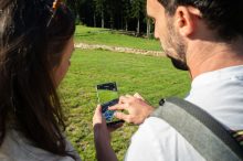
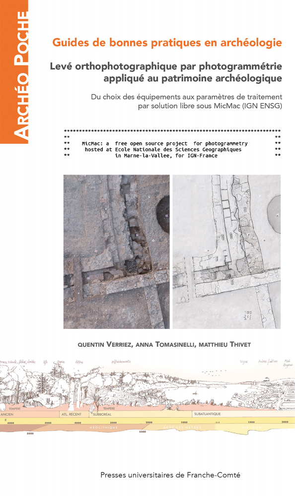
 While photogrammetry has numerous diverse applications, its usage in archaeology has become standardized in the majority of cases. The main objective is to replace traditional archaeological surveys in plan, section, and elevation with the production of ortho-images, known as orthomosaics.
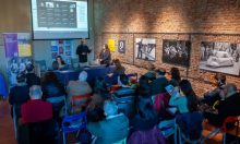
Bibracte is no exception to this digital transformation. That is why Quentin Verriez’s doctoral research, conducted in partnership with the University of Franche-Comté at Bibracte since 2018, focuses on improving the processes of data acquisition, processing, and sharing within archaeological excavation sites. The thesis defense is scheduled for the year 2023.
A significant part of this research has concentrated on orthophotographic surveying through photogrammetry applied to archaeological heritage. The outcomes of this study have been documented and published as a combined publication in both print and web formats.
The online version is available for open access at the following address: https://books.openedition.org/pufc/50613
While currently only available in French, an English version is being prepared for online release. This guide aims to provide archaeology students and professionals with a complete protocol—from field acquisition to data storage— that is proven, reproducible, and entirely based on scientific tools that are free and open-source.
The guide is the first installment in a new collection by the University Press of Franche-Comté. As part of the activities of EUreka3D capacity building and knowledge sharing, Bibracte is leveraging this collaboration for showcasing the work of EUreka3D within the French archaeological community and for engaging relevant stakeholders.